ICSE Class 10 Geography (H.C.G. Paper 2) Question Paper 2023 with Solutions

ICSE
Geography2023Download the official ICSE Class 10 Geography Question Paper 2023 with step-by-step solutions prepared by subject matter experts. Practicing the 2023 board paper helps students master topographical map interpretation (four-figure and six-figure grid references), India outline map pointing, climate data analysis, soil, water, mineral, and agriculture resources according to official CISCE marking schemes. Access the free PDF download above with complete answer keys.
About this paper
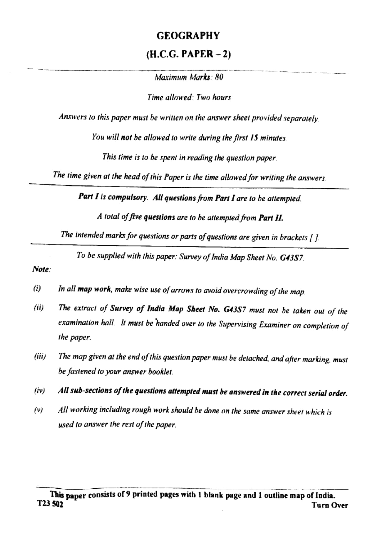
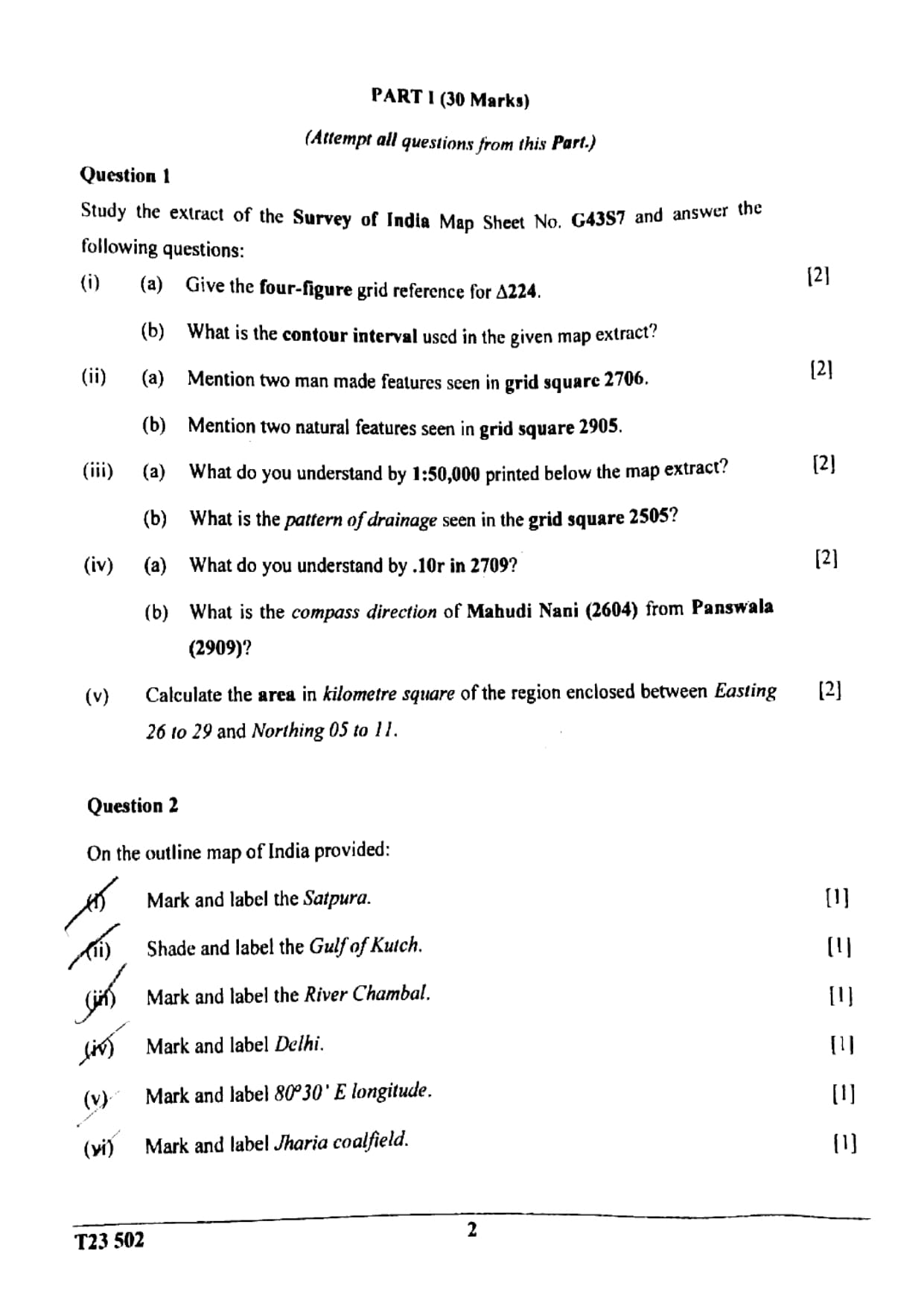
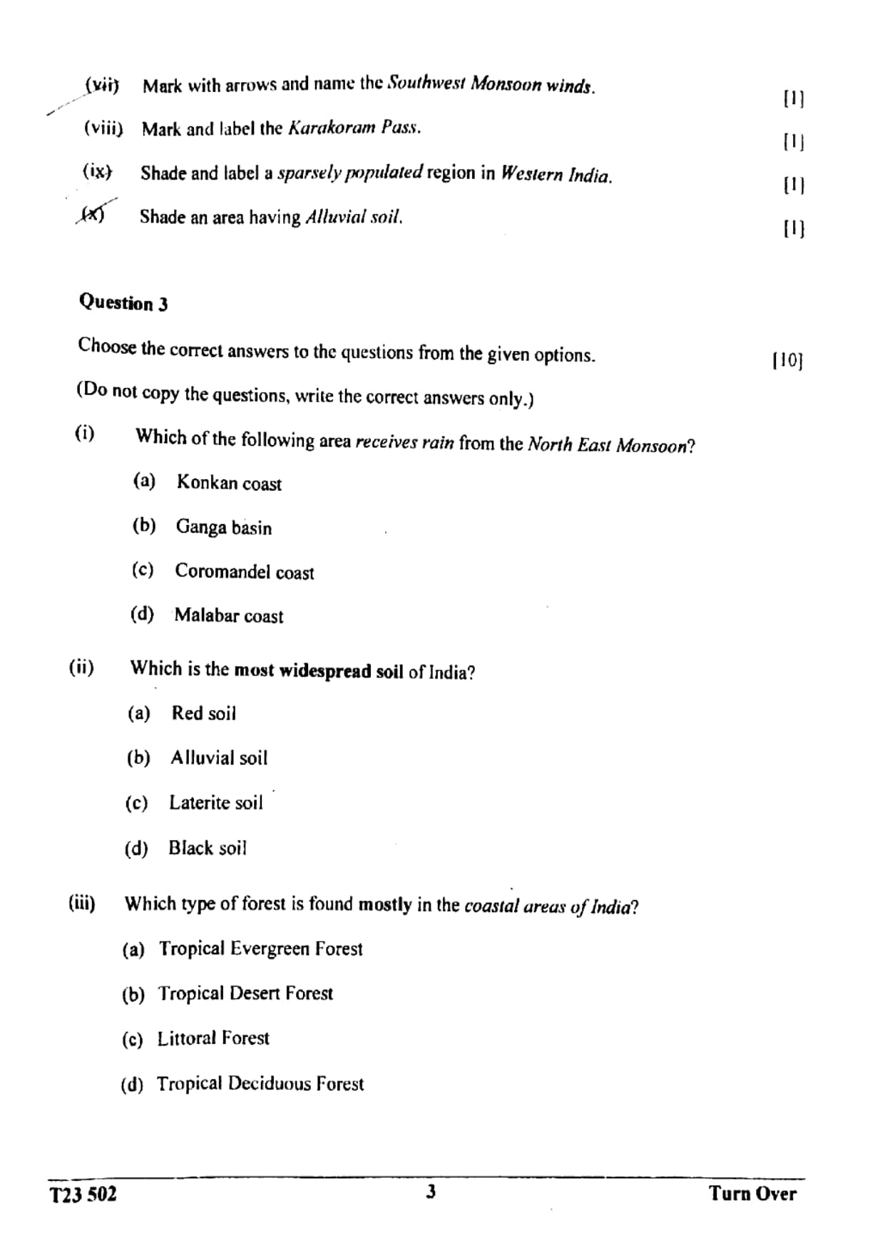
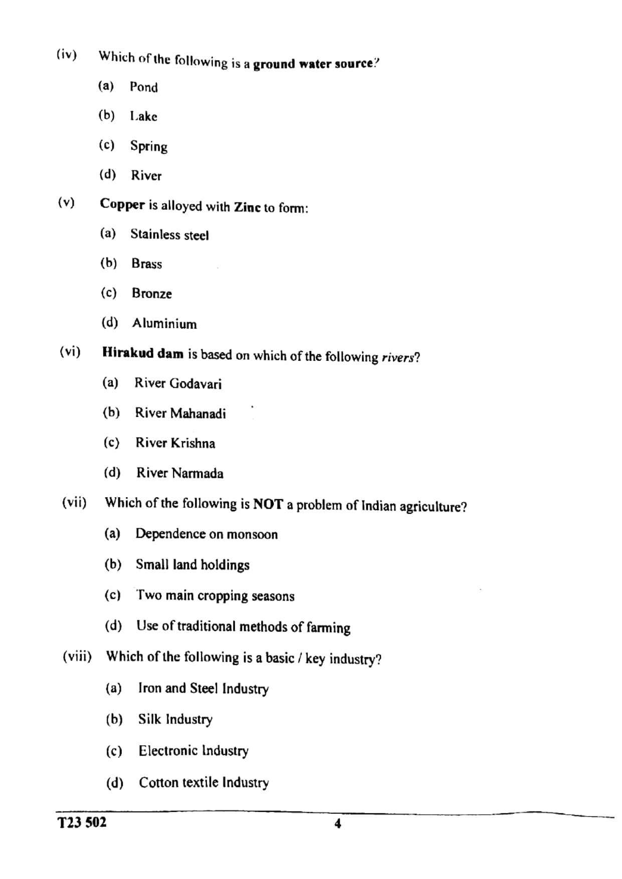
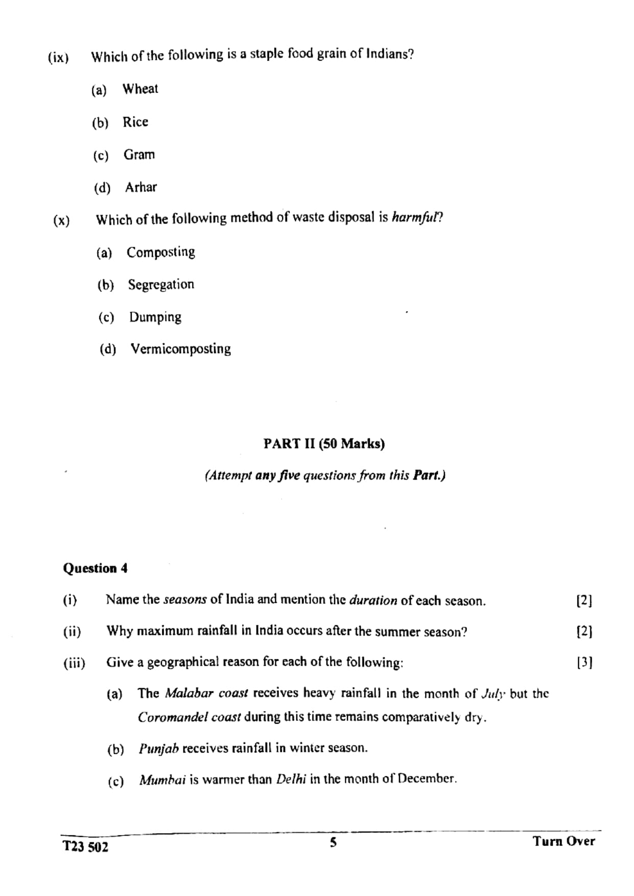
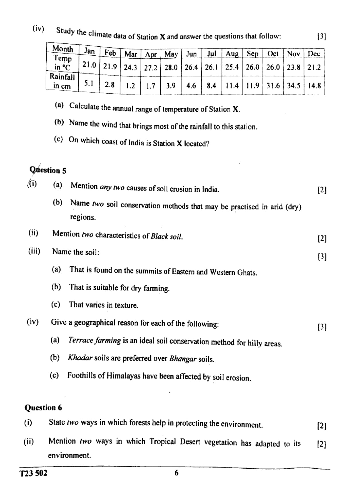
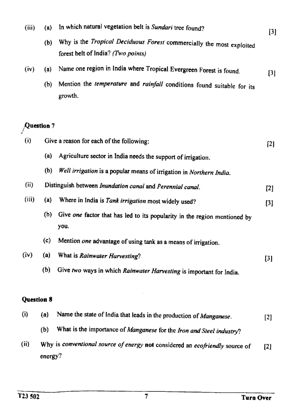
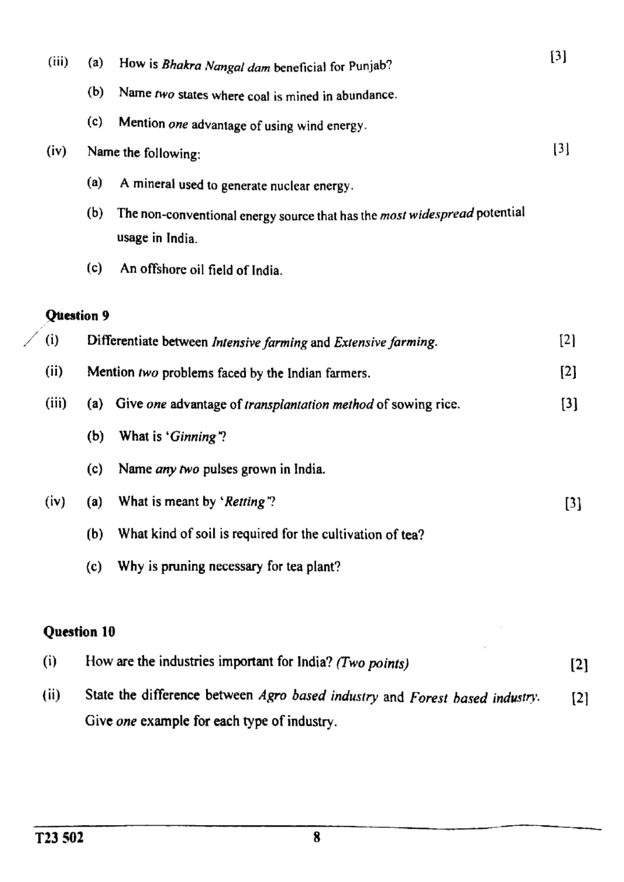
This is the official ICSE Class 10 Geography (H.C.G. Paper 2) question paper from 2023, paper code T23 502. It carries 80 marks and allows two hours of writing after 15 minutes of reading time. Part I (30 marks) is compulsory: questions on an extract of Survey of India map sheet G4357 (grid references, contour interval, scale, drainage pattern and area), an outline map of India to mark, and ten multiple-choice questions. In Part II (50 marks) you attempt any five questions, covering climate with a station's data table, soils, natural vegetation, irrigation and rainwater harvesting, minerals and energy, agriculture and industries. This copy has the questions only, without solutions.
- Exam
- ICSE Class 10
- Subject
- Geography
- Year
- 2023
- Paper code
- T23 502
- Maximum marks
- 80
- Time allowed
- 2 hours + 15 min reading
- Pages
- 9
- Answers included
- No, questions only
Paper pattern
Part I
30 marksCompulsory: Question 1 on the Survey of India map extract G4357 (five two-mark parts), Question 2 on the outline map of India (ten one-mark items) and Question 3 with ten multiple-choice questions
Part II
50 marksAny five questions, ten marks each, starting from Question 4
Topics covered
- Topographical map interpretation
- Map of India
- Climate of India
- Soil resources and soil conservation
- Natural vegetation
- Irrigation and rainwater harvesting
- Mineral and energy resources
- Agriculture
- Industries
Questions from this paper
- Calculate the area in square kilometres of the region enclosed between eastings 26 to 29 and northings 05 to 11 on map sheet G4357.
- Why does maximum rainfall in India occur after the summer season?
- Give a geographical reason why khadar soils are preferred over bhangar soils.
- Why is the Tropical Deciduous Forest commercially the most exploited forest belt of India? Give two points.
- Distinguish between an inundation canal and a perennial canal.
- Differentiate between intensive farming and extensive farming.
What's next
Class 10 done next year?
A number of scholarships for Class 11–12 depend on your Class 10 marks.
Check eligibility